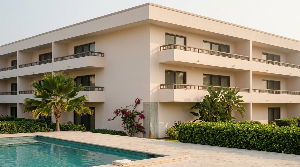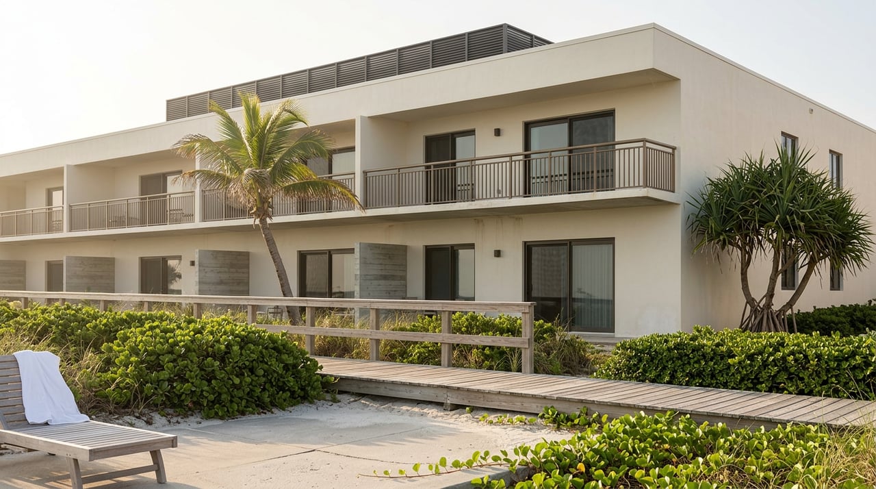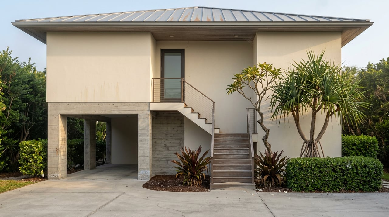
The A Building of Kīhei Kai Oceanfront Condos sat at the edge of the water for more than four decades without a flooding problem. Then a bridge got rebuilt upstream, and within five years the building was gone.
That is not a metaphor. It is the sequence of events, confirmed by Maui Now's reporting on the collapse: the county reconstructed the bridge over Waiakoa Gulch on South Kīhei Road as part of the 2016 Kīhei Drainage Master Plan, and residents say flooding started after that. Kīhei Kai flooded in 2021, again in 2023, then twice more in 2025 and 2026. The January 2025 storm partially collapsed four units closest to the water. The March 13 to 14, 2026 Kona low finished the job. The entire A Building came down, and demolition was the only option left.
The property sits just up the coast from Māʻalaea, at the north end of the same bay-facing flood corridor that state flood hazard data flags by name, running from Māʻalaea Bay through Waipuilani Park and into North Kīhei. If you are looking at a condo or home anywhere along that stretch, this is not a cautionary tale from somewhere else. It is a description of the exact water and drainage system your future property sits inside.
The thesis buyers keep getting backwards
Most flood zone conversations treat the designation like a fixed fact about a parcel: this lot is in Zone X, that one is in Zone AE, done. What happened at Kīhei Kai shows something different. A property's flood risk can change because of what gets built somewhere else entirely, without a single thing changing on the lot itself.
One of the Kīhei Kai owners put it plainly to Maui Now: "we've had the 2021, '23, '25 and '26 floods." Four flood events on a property that had none for over forty years, all tracing back to a single piece of infrastructure work meant to solve a drainage problem elsewhere on South Kīhei Road. Maui County's coastal resources planner reportedly told the association there was no fixing the existing footprint and suggested tearing both buildings down to build a six-story structure with parking underneath, modeled on the Māʻalaea Surf Resort next door.
That is the mechanism worth understanding before you write an offer near this corridor: the flood map is downstream of engineering decisions you will never see in a listing description.
The permit changed too, not just the water
There is a second layer of friction here, and it matters just as much for anyone planning to buy, repair, or rebuild in this zone. After the 2025 flood, Maui County added a new wall requirement to its flood development permit process. The association's president described the new rule as making an already difficult rebuild feel impossible.
This is the part a buyer's inspection checklist rarely covers. A flood-zone property is not just governed by the code that existed when it was built. It is governed by whatever the county's flood development permit requires at the moment you pull a permit, under Maui County Code Chapter 16.29. If you are buying with plans to renovate, add a lanai, or rebuild after storm damage, the rules you will actually build under may not match the rules the current structure was permitted under decades ago.
The map itself just moved again
Here is the detail that turns this from a cautionary story into a timing issue for anyone shopping the corridor right now. Maui County's own flood hazard area data shows the county's flood insurance rate map carries a base effective date of November 4, 2015, with the most recent Letter of Map Revision taking effect on May 29, 2026, according to state GIS records. In plain terms, the map is not a document from a decade ago sitting untouched. It picked up a revision this year.
Oʻahu offers a preview of what that kind of revision can do at scale. New FEMA maps took effect there on June 10, 2026, adding more than 4,000 homes to flood zones for the first time in some areas while removing roughly 450 from others. Maui's revision is not that same event, but it confirms the same pattern locally: the boundary lines are actively being redrawn, and a flood zone printout from even eighteen months ago may not reflect where the line sits today.
That matters for financing specifically. If a property is inside a Special Flood Hazard Area, a federally backed mortgage requires flood insurance, full stop, according to Maui County's own flood hazard guidance. The National Flood Insurance Program was reauthorized on November 12, 2025, with its current authorization running through September 30, 2026. If your closing timeline runs anywhere near that date, that is a question worth putting to your lender directly rather than assuming the program will simply roll forward.
What to actually verify before you write an offer
For a corridor with this much recent movement, a generic disclosure review is not enough. Before you get past inspection contingencies on anything from Māʻalaea Bay through North Kīhei, work through this list:
- Pull the current flood zone determination from the county's own Flood Zone Viewer rather than relying on a zone designation from an old listing sheet or a prior appraisal.
- Ask directly whether any nearby drainage, bridge, or culvert work has been completed or proposed in the last ten years. Waiakoa Gulch shows that infrastructure a mile away can change the water behavior on your specific lot.
- Confirm the seller's Real Property Disclosure Statement actually addresses Special Flood Hazard Area status. Hawaii law requires it. Under HRS §508D-15, sellers must include material fact information about whether a property sits within a designated special flood hazard area.
- Get an actual flood insurance quote before you remove contingencies, not after. A property that reads as Zone X on paper can still carry real water risk on Maui, since mapping detail varies and microclimates on this island do not always match the map's resolution.
- If you plan to renovate or rebuild, ask the county planning department what the current flood development permit requires today, not what the existing structure was built under.
None of this is about avoiding the corridor. Māʻalaea and its neighboring stretch of coastline offer water access and views that plenty of buyers value enough to accept the tradeoffs. The point is knowing what you are actually accepting, and pricing that risk into your offer rather than discovering it during a claim.
A few questions worth asking directly
Does a flood zone status only get disclosed if the seller already knew about it? Hawaii's disclosure law asks sellers to share what is within their knowledge or observable from accessible areas. A special flood hazard designation tied to an official map is generally a matter of public record, which is exactly why pulling the county's own determination yourself, rather than relying solely on what a seller reports, is the safer move.
My lender says the property is in Zone X, so I don't need flood insurance. Does that mean I'm not at risk? It means a federally backed lender is not requiring you to carry it. It does not mean the parcel has no flood history. As the record around this corridor shows, water behavior changes when infrastructure changes, and Zone X status reflects the most recent mapping, not a guarantee about the next storm.
What actually is a Letter of Map Revision, and why should I care about one dated 2026? A LOMR is FEMA's formal update to a flood map for a specific area, often triggered by new engineering studies, construction, or drainage changes. Maui County's most recent one took effect May 29, 2026. If you are evaluating a property in this corridor, ask whether it falls within an area touched by that revision, since a status that was accurate a year ago may not be accurate today.
If you are weighing a purchase anywhere between Māʻalaea Bay and North Kīhei and want a straight read on what a specific parcel's flood history and current designation actually look like, I would rather walk through it with you before you write an offer than after. Let's Connect and I will help you sort out what the map says, what it used to say, and what that difference is actually worth to your decision.